Image

Samuel Heroy
Researcher
Cities are engines of productivity, diversity, and economic growth, but while the largest cities have disproportionately higher incomes, they also tend to have disproportionately higher housing costs which often push low/middle income residents away from centres of economic activity, thus leading to higher income inequality.
This relationship between inequality and city size underscores the importance of social capital to inclusive growth. People regularly access economic opportunities through the capacity of their collective social networks, and then often rely on core social networks in times of difficulty.
Telecommunications data demonstrates that people in highly prosperous areas have on average more spatially diverse communication patterns—they have repeated contacts with individuals in many separate locations—whereas people in less prosperous areas tend to limit their communications to spatially redundant and closely-knit cores. As cities continue to grow, we can expect that city dynamics will depend heavily on residential mobility.
This project explores the relationship between social networks, socioeconomic class, and residential mobility, investigating how social network properties tend to influence one’s propensity to move, the effect of moving on one’s social network, and how these relationships are facilitated by income.
The second portion of our study examines what factors influence the stratification of communication patterns (social networks) along socioeconomic lines. In particular, we examine whether and to what extent this social network stratification is influenced by residential socioeconomic segregation and/or socioeconomically stratified urban travel patterns.
In our study, we use Call Detail Record (CDR) to approach the following questions:
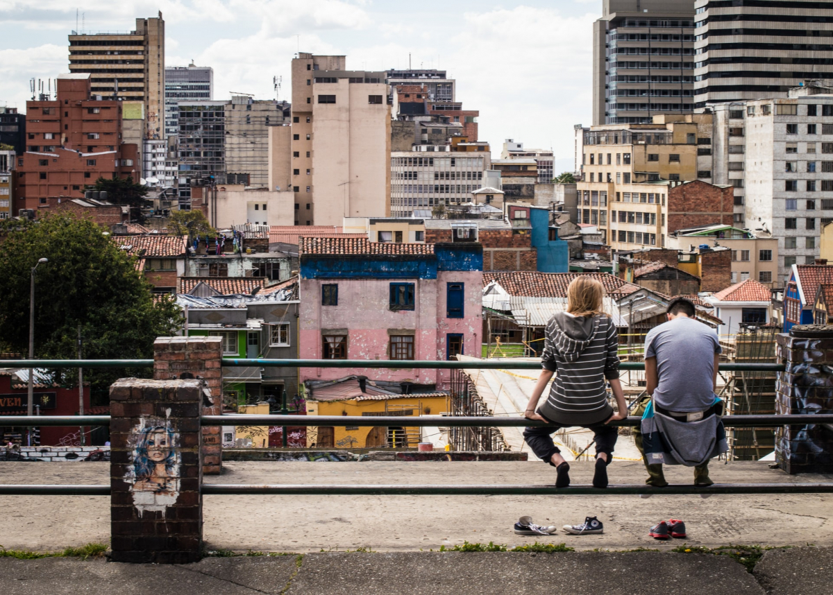
In particular, we study these relationships using data from Colombia, and pay special attention to the unique factors driving urbanization, residential mobility, and class stratification in Colombian cities. Moreover, our aims are both scientific and policy-oriented, with an emphasis on generating large-scale data that has importance to current urban policy issues in Colombia.
While this project is designed to examine socioeconomic segregation in “normal” times, socioeconomic segregation has exacerbated globally due to the COVID-19 pandemic, with wealthier individuals tending to flee metros or tele-work while poorer individuals, especially in industries related to production/sales of food, cannot take such measures.
In the global south, wherein many countries including Colombia have implemented stringent lockdowns, this phenomenon – along with urban density and exi-inequities – could lead to disproportionally poor outcomes for the urban poor. At the same time, keeping a stringent lockdown in place will squeeze the resources of both the urban poor (as well as middle class) and the government, which has to this point in Colombia been able to offer cash payments to the jobless.
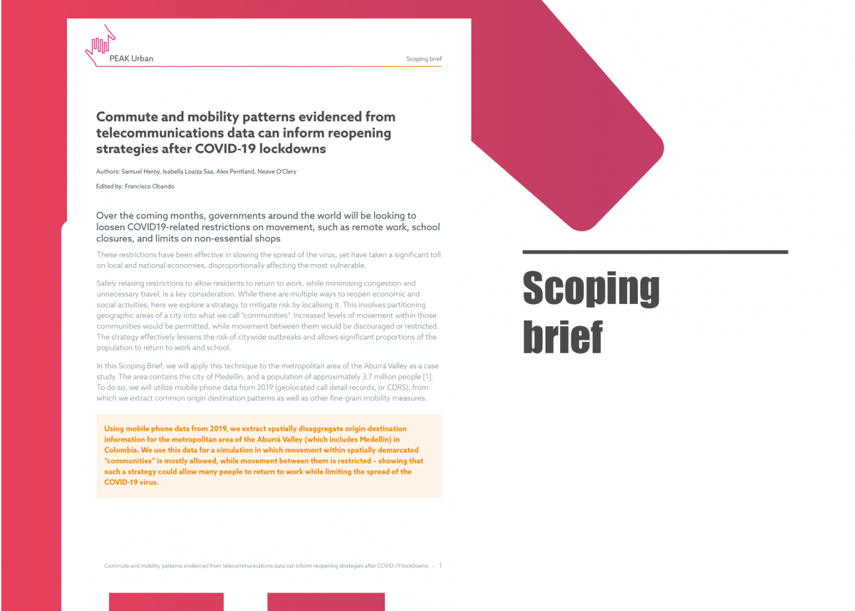
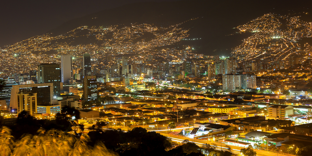
Because we can use mobile phone data to investigate social distancing and commuter patterns in near real-time, we have opened new directions in our research plan regarding strategies for how to effectively ease lockdown measures, in addition to analysis of existing city-level measures’ efficacies. As a simple policy simulation, we examined how “community lockdowns” – which limit travel between zones of a city (“communities”) but allow normal functioning within them – would affect people’s ability to commute to work. In particular, we used mobile phone data to extract commute patterns from 2019, and used graph partitioning algorithms to partition the Medellín Vallé de Aburrá region into near-maximally independent communities. We found that partitioning the region into 12 localised communities allows 64% of pre-lockdown commutes, while partitioning it into only 5 larger communities allows 80% of commutes.
However, these policies foster inequities, as more peripheral areas become more isolated from the metro core. While we summarized current findings in a brief to the local government, our current work utilises recent data (spanning the lockdown) and input from conversations with policymaking stakeholders (Inter-American Development Bank) in order to drive realistic policy scenario analysis.