Image
Krishnachandran Balakrishnan
Research lead
Research on inequalities within Indian cities is constrained by the lack of spatial data at adequate resolution. The Census of India, while providing information on households and populations across a wide range of variables, does not provide data at spatial resolutions below the scale of a ward. But wards are highly heterogeneous entities and ward level data can provide a very misleading picture of the inequalities which exist at the neighbourhood scale. The first part of this project develops new methods for fine scale analysis of socio-economic inequalities within Bengaluru.
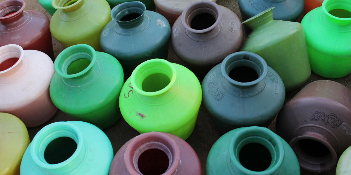
Bengaluru faces multiple challenges on the water management front. Its piped water supply system is inadequate in terms of network coverage and quantity of supply. Among neighbourhoods which are connected to the water supply network, there is considerable variation in volume and frequency of water supply. As a result, the city relies on groundwater for more than half its water use. Meanwhile, rapid urban growth, which ignored the realities of local hydrology, has led to the disruption of the natural drainage channels and the lake system of the city. This in turn has made many parts of the city vulnerable to flooding. The second part of this project focuses on understanding various types of water related inequalities in Bengaluru.
We are developing a method for statistically downscaling ward level Census data to the resolution of 30mX30m raster cells. Based on existing research, we hypothesize that neighbourhoods with similar physical characteristics tend to have households with similar socio-economic characteristics. We are using a combination of earth observation data and infrastructure and land use data to analyse the physical characteristics of neighbourhoods. The census data downscaling relies on this neighbourhood scale analysis of physical characteristics. This downscaled data forms the basis for the spatial analysis of socio-economic inequalities across Bengaluru.
In the second part of the research, we are using this downscaled census data in combination with other datasets and qualitative research to explore various issues related to urban water supply and urban hydrology in Bengaluru. This enables us to answer questions about access to piped water supply and groundwater dependence, evaluate the vulnerability of specific neighbourhoods to urban flooding and to develop new interventions for addressing urban spatial inequality.
Our research questions and objectives:
The population downscaling method described above was completed in mid-2020. We are currently in the process of refining the method and generating the first set of 30m resolution population density maps for Bengaluru. A similar approach will then be used for downscaling selected socio-economic variables available in the census data.
In response to the COVID-19 pandemic, we are also generating 30m resolution population density maps for the city of Mumbai. As of early June 2020, Mumbai is among the worst hit cities in India, whereas Bangalore is among the cities least affected by the pandemic. Several news reports have suggested that denser low-income neighborhoods have higher concentration of COVID-19 cases. Since ward level population data is insufficient to empirically demonstrate this relationship, we are currently working on exploring this further using 30m resolution population density maps for Bengaluru and Mumbai.
We are also developing 30m resolution per capita residential floor space availability maps for Mumbai and Bangalore. Rather than population density, per capita residential floor space availability may be a more useful metric to understand the relationship between living conditions and concentration of COVID-19 cases.