Image
Jorge Eduardo Patiño Quinchía
Researcher
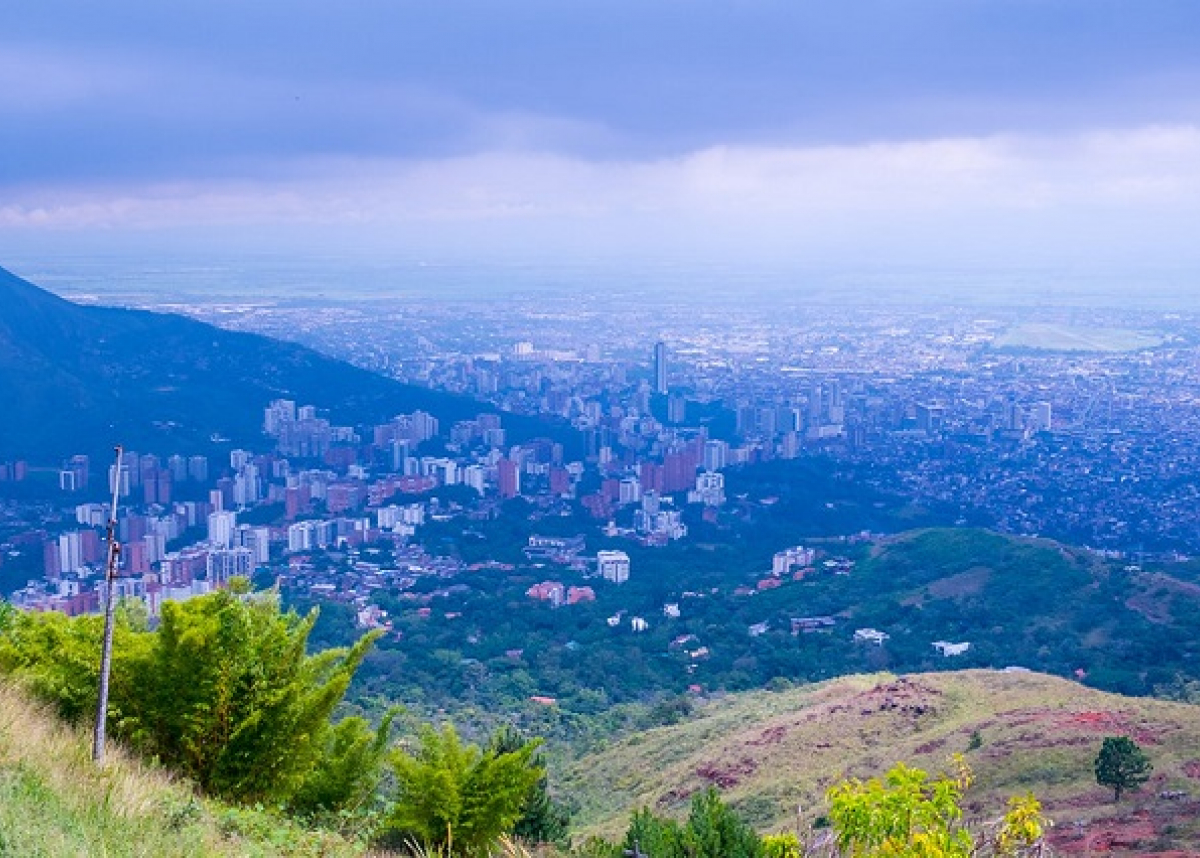
Today, Latin America and the Caribbean (LAC) is the second most urbanized region of the planet, with 81% of its population living in urban areas. In addition, LAC cities are still segregated both at the social and spatial level, as reflected in high urban income inequality, the persistence of informal settlements, and uneven access to public spaces among other issues. However, the growth rate of the urban population in the LAC region has been declining and the urban population is expected to grow below the world average over the next few decades. In contrast, most of the world’s urban population growth in next decades will take place in Asia and Africa (United Nations, 2018).
For this reason, by revisiting the built environment in LAC cities and improving the understanding of urban sustainability problems, we could transfer important lessons in the management of urban spaces to Asia and Africa, contributing to the achievement of the Sustainable Development Goals.
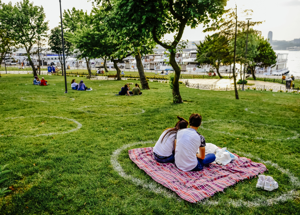
The ‘urban form’ is related to a variety of topics, from economic productivity to public health and human well-being. Urban scholars agree that the characterization of an urban form should include information on three dimensions: border shape, urban texture, and land use patterns. Some of the factors that affect the level of physical activity of individuals are related to the built environment of the city: land use, transportation safety, aesthetic attributes, street connectivity, and the presence and accessibility of green and recreational spaces
Our research focuses on the impact of urban form on people in developing countries and asks;
We recently participated in the UN-Habitat Expert Group Meeting on the Colombian socioeconomic stratification system, which is often used for allocating subsidies. We’ve found a significant imbalance with as many as 20% of households needing help and not getting it, and more than 50% of households receiving help that don’t really need it. UN-Habitat, the Colombian Central Bank, Universidad Nacional de Colombia, and Universidad del Rosario have collaborated in this work. The Colombian government committed to review this issue in the National Development Plan.
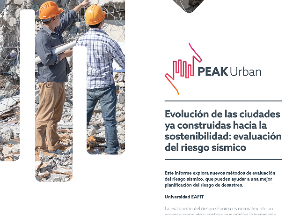
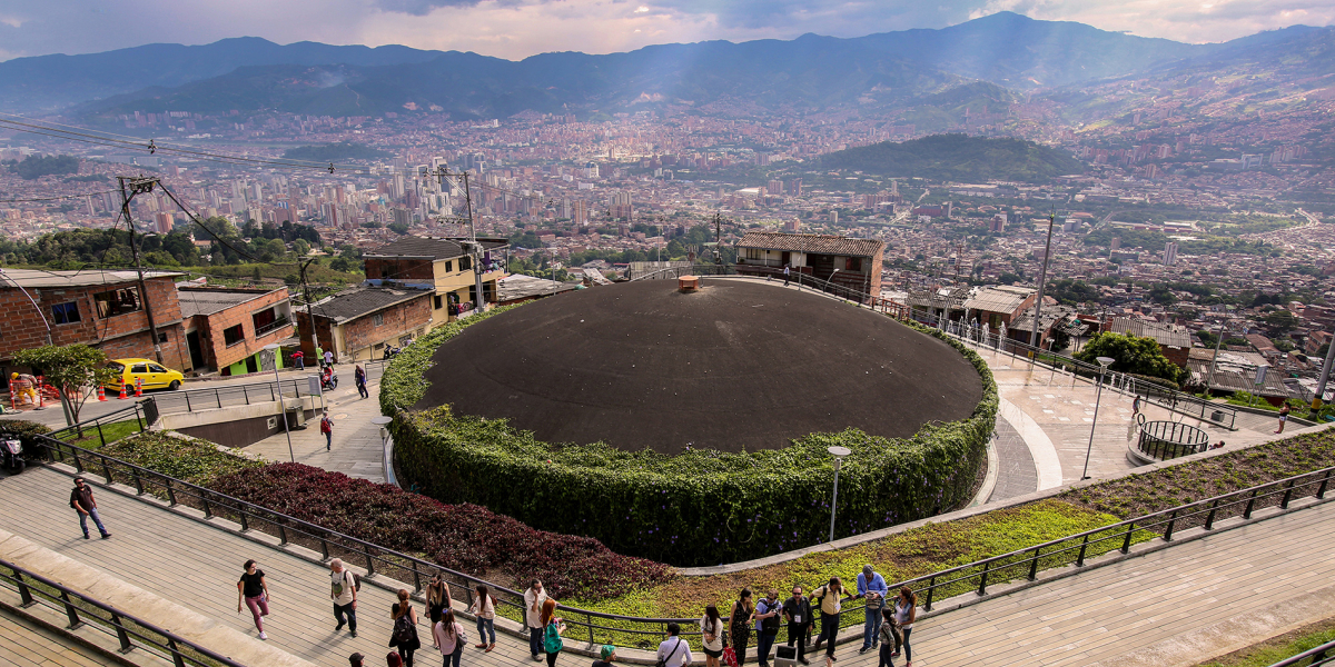
We’ve worked with Universidad de Antioquia and Universidad Industrial de Santander in the design and implementation of a convolutional neural network model to identify high seismic vulnerability areas using street-level images, a cost-effective contribution for assessing potential losses from seismic events. We’ve analyzed the long-term availability of green space in Medellin by socioeconomic status (SES). Disparities among SES have been reducing in recent years, and by 2018 more than half the areas with the least green space are middle SES class, instead of low SES, as we were expecting.
We are finishing an analysis of built-environment and cardiovascular mortality relationships in Medellin, with Medellin’s Health Office and the Oxford health team. High intersection density has a protective effect against cardiovascular mortality, while neighborhood slope was associated with increased risk. The strongest association was found between neighborhood greenness and the mortality measures. We are also analyzing neighborhood greenness and physical and mental health in Cali, Colombia, with ICESI University (Cali) and the Oxford team. In Cali, more greenness is associated with better physical health and fewer days of people reporting feeling ill, and stratified results by SES indicate that middle and higher SES people benefit more of green spaces.
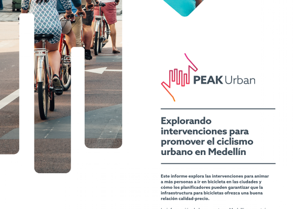
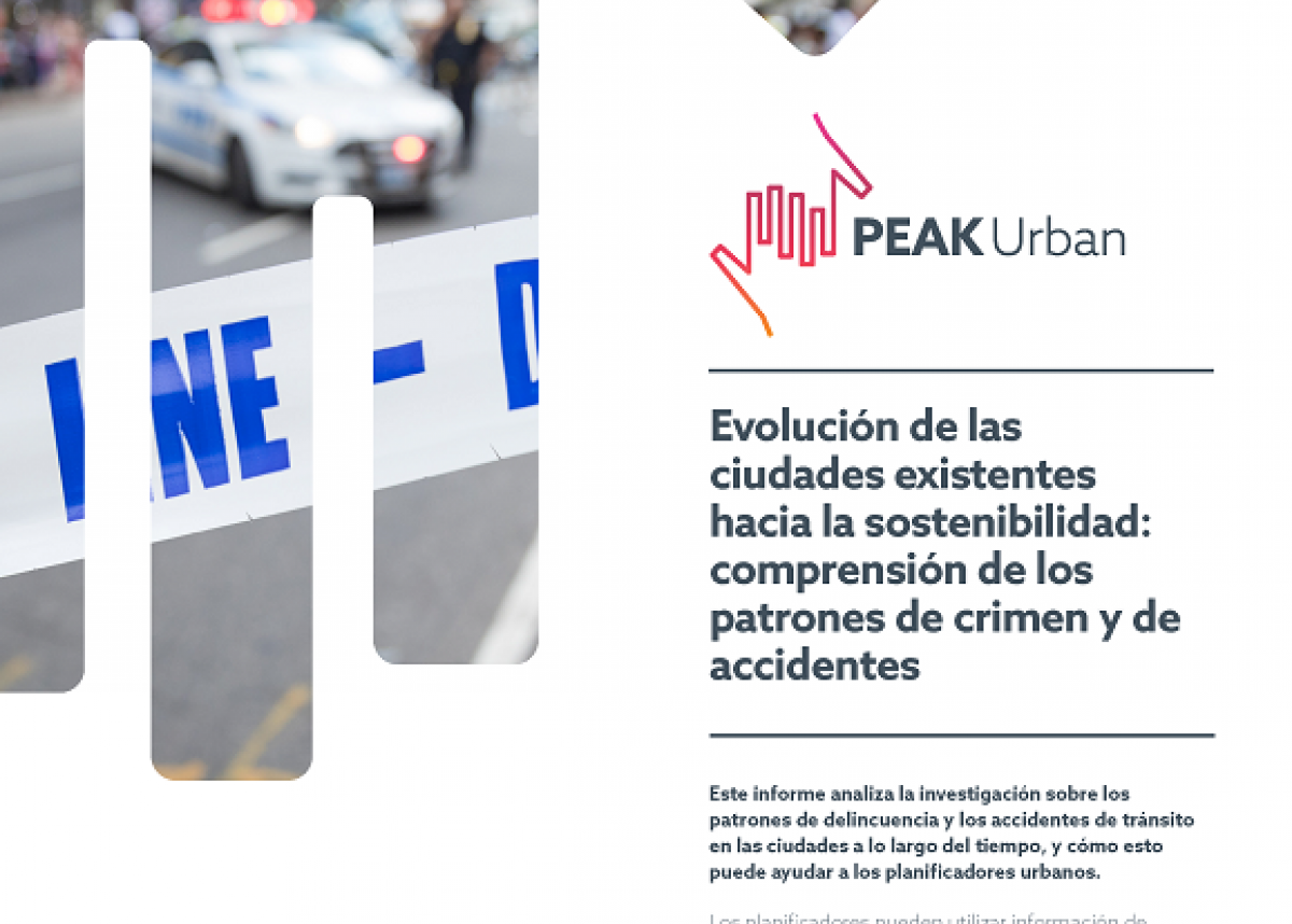
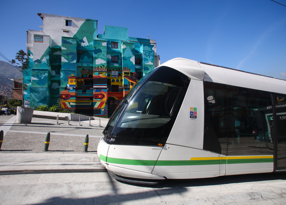
Finally, we are working on an analysis of transport infrastructure as a mean to reduce crime, on the better understanding of bike mobility for bike-lanes design, and with the World Bank to identify better metropolitan coordination practices to help increase urban productivity.